
This has been a bit slow coming, but I am now sticking to my promise to write a Behind the paper post for each of my published academic papers. This is about:
Wilson, R. T., E. J. Milton, and J. M. Nield (2015). Are visibility-derived AOT estimates suitable for parameterising satellite data atmospheric correction algorithms? International Journal of Remote Sensing 36 (6) 1675-1688
Layman’s summary
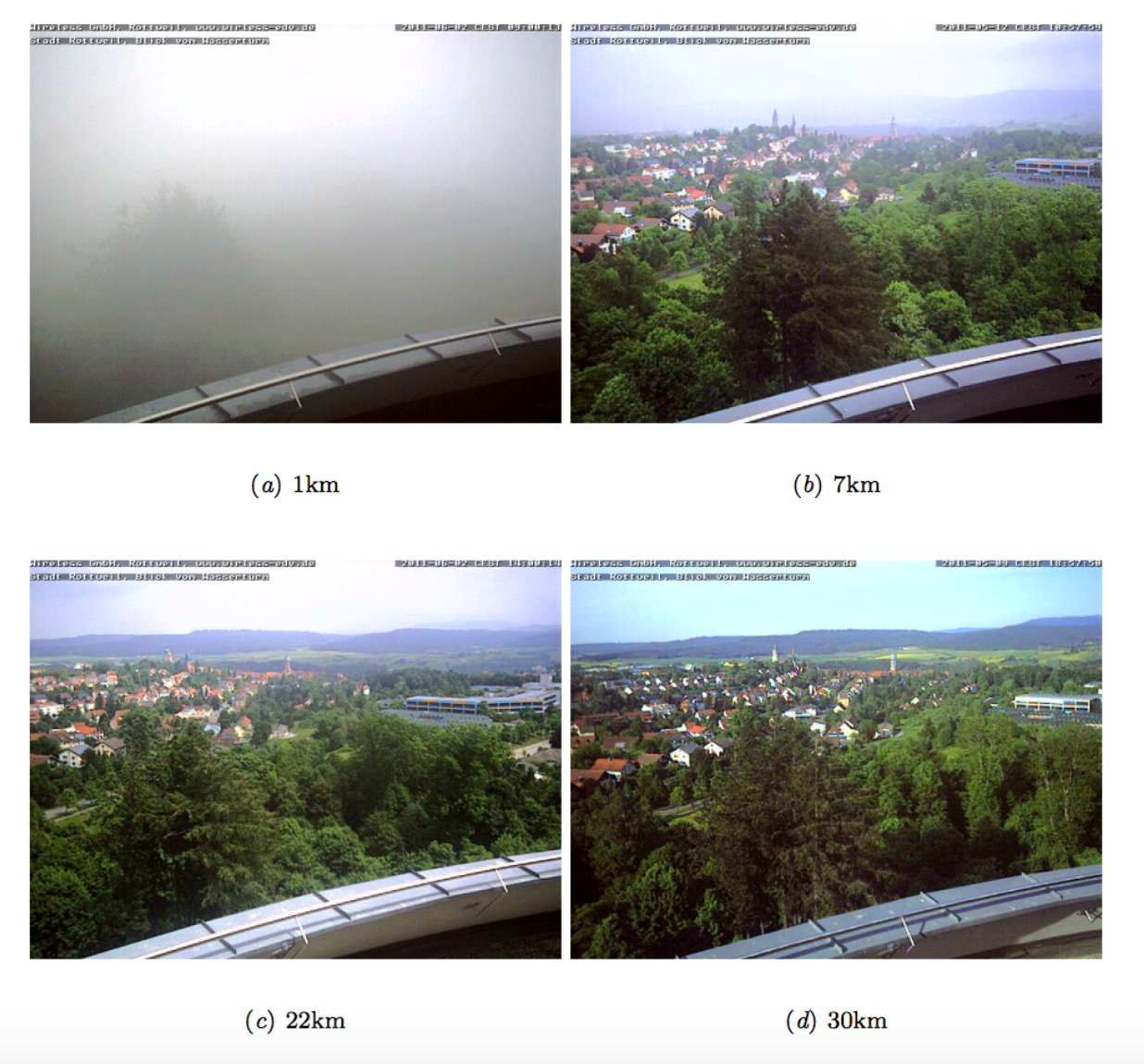
Aerosol Optical Thickness (AOT) is a measure of how hazy the atmosphere is – that is, how easy it is for light to pass through it. It’s important to measure this accurately, as it has a range of applications. In this paper we focus on satellite image atmospheric correction. When satellites collect images of the Earth, the light has to pass through the atmosphere twice (once on the way from the sun to the Earth, once again on the way back from the Earth to the satellite) and this affects the light significantly. For example, it can be scattered or absorbed by various atmospheric constituents. We have to correct for this before we can use satellite images – and one of the ways to do that is to simulate what happens to light under the atmospheric conditions at the time, and then use this simulated information to remove the effects from the image.
To do this simulation we need various bits of information on what the atmosphere was like when the image was acquired – and one of these is the AOT value. The problem is that it’s quite difficult to get hold of AOT values. There are some ground measurements sites – but only about 300 of them across the whole world. Therefore, quite a lot of people use measurements of atmospheric visibility as a proxy for AOT. This has many benefits, as loads of these measurements are taken (by airports, and local meteorological organisations), but is a bit scientifically questionable, because atmospheric visibility is measured horizontally (as in “I can see for miles!”) and AOT is measured vertically. There are various ‘standard’ ways of estimating AOT from visibility – and some of these are built in to tools that do atmospheric correction of images – and I wanted to investigate how well these worked.
I used a few different datasets which had both visibility and AOT measurements, collected at the same time and place, and investigated the relationship. I found that the relationship was often very poor – and the error in the estimated AOT was never less than half of the mean AOT value (that is, if the mean AOT was 0.2, then the error would be 0.1 – not great!), and sometimes more than double the mean value! Simulating the effect on atmospheric correction showed that significant errors could result – and I recommended that visibility-derived AOT data should only be used for atmospheric correction as a last resort.
Key conclusions
- Estimation of AOT from horizontal visibility measurements can produce significant errors.
- Radiative transfer simulations using different models (eg. MODTRAN and 6S) with the same visibility may produce significantly different results due to the differing methods used for estimating AOT from visibility
- Errors can be significant for both radiance values (significantly larger than the noise level of the sensor) and vegetation indices such as NDVI and ARVI.
- Overall: other methods for estimating AOT should be used wherever possible – as they nearly all have smaller errors than visibility-based estimates – and great care should be taken at low visibilities, when the error is even higher.
Key results
- Error in visibility-derived AOT is highest at low visibilities
- Root Mean Square Error ranges from 1.05 for visibilities < 10km to 0.05 for visibilities > 40km
- The error for low visibilities is many times the mean AOT at those visibilities (for example, an average error of 0.76 for visibilities < 10km, when the average AOT is only 0.38!)
- Overall, MODTRAN appears to perform poorly compared to the other methods (6S and the Koschmieder formula) – and this is particularly pronounced at low visibilities
- Atmospheric correction with these erroneously-estimate AOT values can produce significant errors in radiance, which range from three times the Noise Equivalent Delta Radiance to over thirty times the NEDR!
- There can still be significant errors in vegetation indices (NDVI/ARVI), of up to 0.12 and 0.09 respectively.
History and Comments
This work developed from one of my previous papers (Spatial variability of the atmosphere over southern England, and its effects on scene-based atmospheric corrections). In that paper I investigated a range of methods for estimating AOT – and one of these was by estimating it from from visibility.
I had always been a bit frustrated that lots of atmospheric correction tools required visibility as an input parameter – and wouldn’t allow you enter AOT even if you had an actual AOT measurement (eg. from an AERONET site or a Microtops measurement). I started to wonder about the error involved in the use of visibility rather than AOT – and did a very brief assessment of the accuracy as part of my investigation for the spatial variability paper. An extension of that accuracy assessment turned into this paper.
Data, Code & Methods
The good news is that the analysis performed for this paper was designed from the beginning to be reproducible. I used the R programming language, and the ProjectTemplate package to make this really nice and easy. All of the code is available on Github, and the README file there explains that all you need to do to reproduce the analysis is run:
source('go.r')
to initialise everything, install all of the packages etc. You can then run any of the files in the src directory to reproduce a specific analysis.
That’s all good news, so what is the bad news? Well, the problem with reproducing this work is that you need access to the data – and most of the data I used is only available to academics, or cannot be ‘rehosted’ by me. There are instructions in the repository showing how to get hold of the data, but it’s quite a complex process which requires registering with the British Atmospheric Data Centre, requesting access to datasets, and then downloading the various pieces of data.
This is a real pain, but there’s absolutely nothing I can do about it – sorry! I was really hoping I could use this as an example of reproducible research…but the data access situation makes that a bit difficult.